
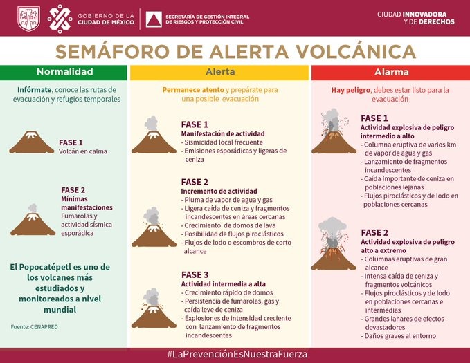
Status:
Yellow, Phase 3.
- Webcams de Mexico has live webcams, which are free but not embeddable
- Current CENAPRED report (Spanish).
- Hazard map (Spanish)
- Washington VAAC page.
- Puebla Civil Protection (Twitter)
- Mexico City Secretaría de Gestión Integral de Riesgos y PC (Twitter)
- GVP page.
Update, May 31, 2023, 11:43 a.m., Pacific: A nerdish good morning, Popocatépetl!
Reporte de la actividad del volcán Popocatépetl preparado por el CENAPRED para hoy 31 de mayo de 2023.
El evento 15 es el que CENAPRED reporta hoy. pic.twitter.com/G9aGJdbRDi— Observación volcánica (@ObserVolcanica) May 31, 2023
https://platform.twitter.com/widgets.js
Click each side to see each full image.
The geophysicists have shared a diagram of detected earthquake locations on the right and a summary of the current CENAPRED bulletin on the left.
About those earthquakes — the graphs fit in with every layperson’s idea of a volcano’s plumbing, so I just wanted to mention that, like Merapi, both Popocatépetl and Colima (a Decade Volcano in western Mexico) are something special.
They’re “open-conduit” volcanoes, which makes their activities more challenging to monitor and forecast, since they don’t deform the way Nevado del Ruiz and many other subduction-zone volcanoes do:
Ruiz, for example:

Lundgren et al., Figure 5 (top), Figure 6, partial (bottom), CC BY 4.0.
As I understand it, you won’t see a bull’s-eye like that at Popo. But other radar data apparently can be collected and interpreted, according to this open-access paper.
They’ve even done a cartoon of their conception of the eruption process at volcanoes like Popocatépetl:

Figure 10, Chaussard et al., CC BY 4.0.
True, we’re in extreme Nerd Country with that, but IRL we’re also watching from the sidelines as some of the best minds on the planet try to understand how a ticking geologic bomb, set in the midst of almost thirty million people (in Popo’s case), works.
So let’s go for it and include the text this paper’s authors used for that figure and then move on to how the Colossus of Puebla is doing today.
5.2.2 Nondeforming Volcanoes: Open Systems
[47] The different activity stages at open volcanic systems are summarized in a cartoon of the eruptive cycle model in Figure 10. Similar to closed systems, when no magma is supplied from depths, the volcano is in repose (Figure 10, stage a). When magma is supplied to the shallow reservoir, the volcano enters a period of activity characterized by degassing at the vent or growth of a lava dome, reflecting the presence of a permanent or semipermanent conduit [e.g., Wallace, 2001] (Figure 10, stage b). In such settings, magma can rise toward the surface without pressurizing the reservoir, explaining the absence of inflation [Albino et al., 2011].
Presumably, the system is permanently in a state of near eruption in which eruptions may be triggered by small intrusions into the reservoir, gradual overpressurization of the conduit, or destabilization of the lava dome (Figure 10, stage c) [Gottsmann et al., 2011]. The volcano either enters a period of repose or returns to its activity level preceding the eruption, depending on the magma remaining in the reservoir and on the influx from depths (Figure 10, stages a and b), and the cycle begins anew.
Out in the real world, Popo is ticking chugging along at a reduced rate, compared to the last week and a half.
They were even able to end VAAC ash advisories for a while, late yesterday, but not for long.
Satellites picked SO2 emissions, too.
The current ash advisory mentions ash extending 90 nautical miles from Don Goyo’s summit:

Well, let’s see how the rest of the day unfolds.
Quick edit, 1:48 p.m., Pacific: TROPOMI just tweeted a new update:
On 2023-05-31 #TROPOMI has detected an enhanced SO2 signal of 5.30DU at a distance of 24.7km to #Popocatepetl. @tropomi #S5p #Sentinel5p @DLR_en @BIRA_IASB @ESA_EO #SO2LH pic.twitter.com/MFpZejcG3A
— TROPOMI SO2 (@DlrSo2) May 31, 2023
https://platform.twitter.com/widgets.js
Earlier posts:
Featured image Popocatépetl in early 2019, by Puebla Civil Protection (Spanish)
